
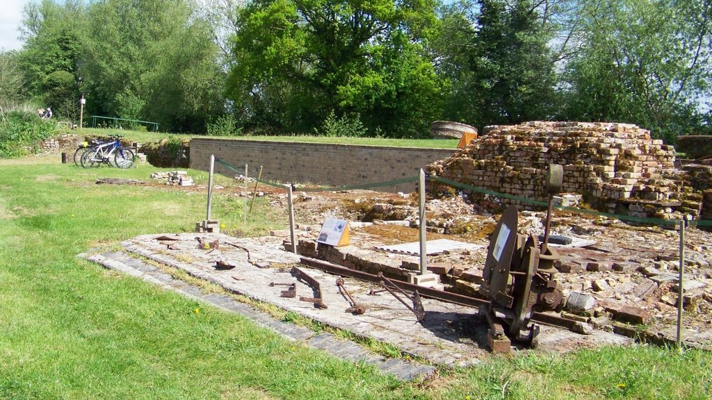
The four maps from 1884 to 1905 show the bone mill buildings. In 1884 the main building is shown with the chimney in the left back corner, the boiling house and Blacksmith’s shop are also shown as separate buildings on the right. In 1885 the buildings are unchanged.
By 1904 there is an extension on the left around the chimney and it also shows the small brick floor where our large exhibits are displayed at the back of the main building. The mill is now shown as Disused. On the 1905 map there is less detail and all the buildings are shown as one.
On all maps the detail of the water wheel within the building is shown as a rectangular bay next to the guillotine stanch. The upper stanch detail is also shown opposite the Blacksmith’s shop on the right. The buildings were dismantled during the 1920s and no longer appear on maps after this.
See the Historic Pictures to see what the front of the main building looked like, see also the Plan of the mill and Aerial Views. There is also a 1770 map of the River Nar before the mill was built.
Interactive Plan Historic Photos Chimney 1770 Map


